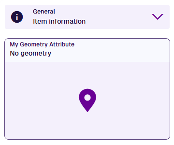
Geometry attribute
Store location and geometry coordinates
A Geometry attribute can store geometry coordinates in GeoJSON format.
While all designs/interfaces inherit a standard Geometry attribute via the Items interface, you can add additional Geometry attributes to hold other location information.
To configure the standard Geometry attribute, see Edit the design or interface.
Configuration
When adding or editing a Geometry attribute on a design/interface, you can configure the following properties. These determine how the attribute will behave when users populate its value on corresponding items.
- Name * - enter a distinct name that clearly identifies the attribute.
- Description - describe what the attribute represents and how it's intended to be used. This helps users and AI agents to understand its purpose.
-
Required - if enabled, the attribute will need to be populated with a value before the item can be saved. It can't be left blank!
-
Read-only - if enabled, the attribute can only be populated when creating items. It can't be edited later!
-
Unique - if enabled, the attribute won't accept a value that's already stored in the same attribute on another item of this design/interface.
- Allows * - the attribute will only accept the selected geometry types.
- Default value - the attribute will automatically be populated with this value, which can usually be changed before saving (unless it's Read-only or excluded from an item form).
- Tags - use the Tag Manager to select a custom tag or relevant system tag.
- AQS agent enabled - if disabled, the attribute is excluded from AI agent queries.
The Code field is read-only. It displays the attribute's Global Unique Code (Guc).
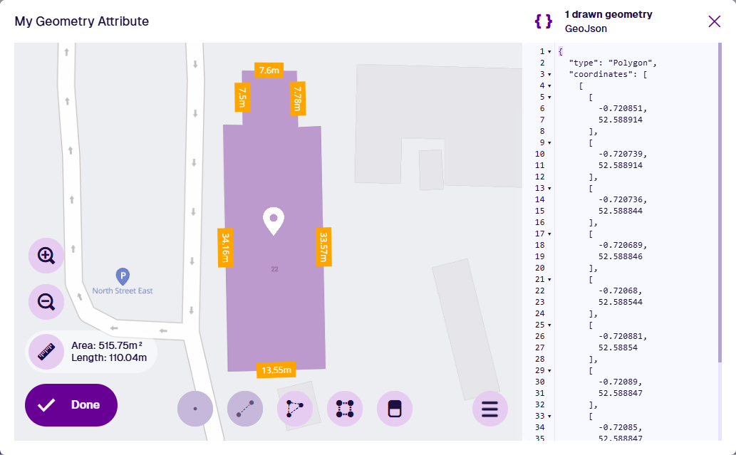
Populate the attribute on items
When creating or editing an item, select the attribute to open the Geometry Editor. Draw point, line or polygon geometry using the available tools or enter GeoJSON code.
To populate the standard Geometry attribute on an item, use the Map section.