Basemaps
Visualise your data in different contexts
A basemap provides the map imagery displayed in the map area and the Geometry Editor.
Use layers to display sets of items on the basemap, according to their Geometry attribute values. You can change the basemap at any time, enabling you to view your organisation's item data in different geographic contexts.
Two system basemaps are included to help you get started. Most online map services can be added as extra basemaps, making a wide variety of visualisations possible! For instructions and examples, see Add a basemap.
If you're unable to view or manage basemaps, your user account may lack the required permissions.
System basemaps
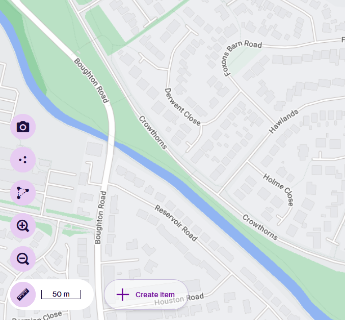
Primary
A beautifully coloured map with a hierarchical road structure, building footprints and geographical features. Roads display their numbers, street names and directional arrows where relevant. Labelled points of interest are also shown, including businesses, amenities and landmarks.
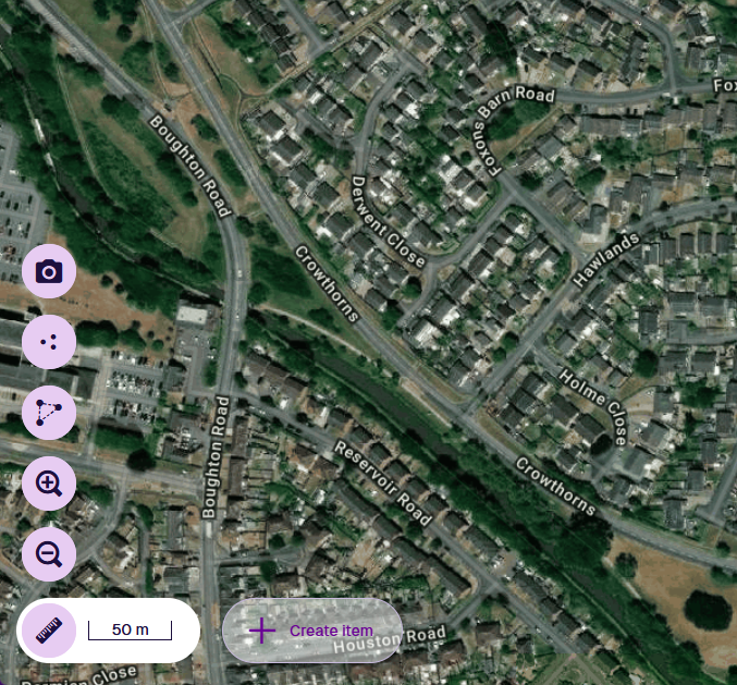
Satellite
Detailed photo imagery with road numbers, street names and labelled points of interest.