GeoJSON node
Provide a fixed geometry value
The GeoJSON node represents geometry that describes a place or shape, e.g. an asset location, a site boundary.
Usage
This node is an input, so you can add it to the segments of these comparison nodes:
- Within / Intersects / Disjoint

Compatibility
This node fills one segment. The other must hold a Geometry Attribute.
| Node | Accepted Value Type | Notes |
|---|---|---|
| Attribute | Geometry | Use the Pathfinder to choose an attribute, on the queried item or a linked item |
Options
Select the node to access its options:
- Delete - remove the node from the segment.
- Parameter - select a compatible parameter to use as a placeholder. The value is provided when the query runs.
Alternatively, set the value directly:
-
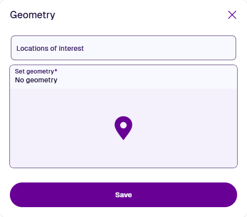
Geometry - select one of the following:
-
Locations of interest - choose from a list of predefined locations.
-
Set Geometry - use the Geometry Editor to define a point, line or polygon, then select Save.
-
Example
Fetch all assets within this area.
In AQS terms:
Fetch items of the Assets interface where their Geometry attribute is within a defined area.

See JSON code
This code may reference designs, interfaces, attributes or items that don't exist in your company project.
{
  "type": "Query",
  "properties": {
    "collectionCode": "Live",
    "dodiCode": "designInterfaces_assets"
  },
  "children": [
    {
      "type": "GeomWithin",
      "children": [
        {
          "type": "Attribute",
          "properties": {
            "attributeCode": "attributes_itemsGeometry"
          }
        },
        {
          "type": "Geometry",
          "properties": {
            "value": {
              "type": "Polygon",
              "coordinates": [
                [
                  [-1.528451, 52.291276],
                  [-1.532371, 52.290544],
                  [-1.535095, 52.288647],
                  [-1.534088, 52.28752],
                  [-1.527428, 52.290062],
                  [-1.528451, 52.291276]
                ]
              ]
            }
          }
        }
      ]
    }
  ]
}