Multi-polygon geometry
Define multiple shapes
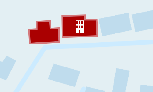
This geometry type defines multiple points that form multiple distinct shapes. Use it to describe assets composed of multiple areas, e.g. sites with multiple buildings, park areas.
How to draw
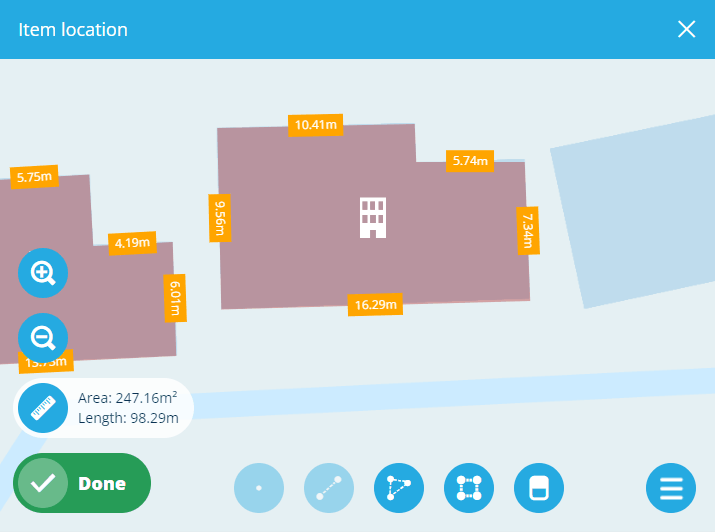
When editing item geometry or any other geometry data field, the Geometry Editor appears. The row of draw tools indicates which geometry types are allowed by the item's design (or the source of the field).

Select the Polygon tool and then select a starting point on the map. Continue selecting points along your desired shape. To finish drawing, double-select the final point (or select the starting point again). The tool will remain active, enabling you to select it again and add more shapes as needed.
Additionally, you can use the Box tool to draw a rectangle between two diagonal points.
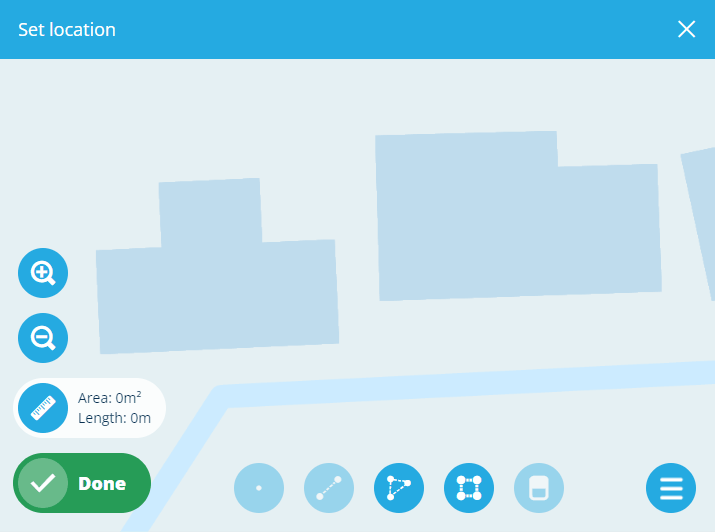
To edit a polygon, select an existing point (your mouse will snap to it) and drag it to a different position. To add a new point to a shape, select and hold anywhere along an edge, and then drag the new point into position! Use the Erase tool to remove points from shapes as needed.
Select Done to save your changes.
Example GeoJSON
To access the underlying code of the current geometry, select Menu in the Geometry Editor and choose GeoJson view.
{
  "type": "MultiPolygon",
  "coordinates": [
    [
      [
        [-0.71778, 52.586826],
        [-0.717695, 52.586829],
        [-0.717692, 52.586795],
        [-0.71763, 52.586797],
        [-0.717627, 52.586743],
        [-0.71783, 52.586737],
        [-0.717835, 52.586791],
        [-0.717779, 52.586793],
        [-0.71778, 52.586826]
      ]
    ],
    [
      [
        [-0.717595, 52.586851],
        [-0.717441, 52.586853],
        [-0.71744, 52.586835],
        [-0.717355, 52.586835],
        [-0.717351, 52.586769],
        [-0.717592, 52.586765],
        [-0.717595, 52.586851]
      ]
    ]
  ]
}